
Last updated:
How SLAM (simultaneous localization and mapping) enables fast, walk-through 3D capture of large spaces.

Capture while moving
SLAM lets a handheld or backpack scanner map a space as the operator walks, trading some accuracy for speed over large areas. Compare the capture methods.

Best fit
Large corridors, multi-floor coverage, and quick documentation.

Mapping a space while moving through it
SLAM stands for Simultaneous Localization and Mapping, and it describes a technology that lets a scanner build a map of a space while continuously tracking its own position within that space — all while in motion. Instead of setting a scanner on a tripod and capturing from fixed positions, a SLAM system is carried or driven through an environment, mapping continuously as it goes. It is the technology that makes mobile mapping possible, turning a walk through a building into a complete three-dimensional capture without ever stopping to set up.
For large or complex sites where speed matters, SLAM has become a transformative complement to traditional stationary scanning.
How SLAM works
The clever part of SLAM is the “simultaneous” in its name. As the device moves, it must figure out both what the environment looks like and where it is within that environment at the same time, without external positioning. It does this by continuously comparing what its sensors see from moment to moment, recognizing features and tracking how they shift as it moves to deduce its own path. From that constantly updated understanding of its own motion, it assembles the individual measurements into one coherent map. The result is a point cloud built on the fly as the operator simply walks through the space.
Speed is the headline advantage
The most obvious benefit of SLAM mobile mapping is speed. Because there is no need to stop, set up, and register individual stations, an operator can capture a large area in a fraction of the time stationary scanning would require. Walking through a building, a corridor, or a facility captures it continuously, covering ground quickly and reaching far more of a site per hour than a tripod-based workflow. For expansive or sprawling environments, this speed can be the difference between a capture that takes hours and one that would take days.
Reaching difficult and expansive spaces
SLAM excels in environments that are awkward for stationary scanning: long corridors, multi-story stairwells, large warehouses, tunnels, and sprawling facilities. Anywhere that would demand a great many tripod setups to cover is a natural fit for mobile mapping, because the operator simply moves through the space in a continuous path. Stairwells and level changes, which are tedious to capture station by station, are handled smoothly as the operator walks them. This reach makes SLAM especially valuable for capturing the connective tissue of large buildings.
The trade-off in accuracy
SLAM’s speed comes with a trade-off worth understanding. Because it builds its map while estimating its own motion, mobile mapping is generally less precise than stationary scanning, which measures from fixed, known positions. For many purposes — documentation, space planning, asset capture, and general existing conditions — SLAM accuracy is more than sufficient. But for work demanding the tightest tolerances, such as precise structural coordination or fabrication, stationary scanning remains the higher-accuracy choice. Matching the method to the required accuracy is key to using SLAM well.
Combining mobile and stationary scanning
The best results often come from using both approaches together. SLAM can rapidly capture the bulk of a large site — the corridors, open areas, and connective spaces — while stationary scanning provides high-accuracy detail in the specific areas that demand it. Because both produce point clouds, the datasets combine into a single deliverable that offers broad, fast coverage where that is enough and pinpoint precision where it is needed. This hybrid strategy captures a large site efficiently without sacrificing accuracy where it truly matters.
Where SLAM shines in practice
Mobile mapping is particularly well suited to projects prioritizing speed and coverage over the finest accuracy: documenting large facilities, capturing existing conditions across sprawling buildings, mapping routes and corridors, and quickly recording spaces for planning purposes. It is also valuable when a site must be captured with minimal disruption, since an operator can walk through quickly rather than occupying each area with a tripod. In these scenarios, SLAM delivers a complete picture in a timeframe that stationary scanning simply cannot match.
Understanding the deliverable
A SLAM capture produces the same fundamental output as other scanning — a point cloud — that can feed documentation, modeling, and analysis. It is important, though, for clients to understand the accuracy characteristics of that data so they use it appropriately. Knowing what SLAM data is well suited for, and where a higher-accuracy method should take over, ensures the deliverable meets the project’s real needs. A good scanning partner sets those expectations clearly, so the mobile-mapping data is applied to the tasks it serves best.
How CAD Construct uses mobile mapping
CAD Construct employs SLAM mobile mapping where speed and coverage are the priority, and pairs it with stationary scanning where accuracy demands it. For clients across the Pittsburgh region, that means large and complex sites captured efficiently, with the right technology applied to each part of the job — fast, complete coverage where that is what matters, and precise detail where the project cannot do without it.
Handheld, backpack, and vehicle systems
SLAM mobile mapping comes in several forms, each suited to different environments. Handheld units are nimble and ideal for interiors, tight spaces, and detailed walkthroughs where an operator needs to weave through a building. Backpack systems free the operator’s hands and suit longer captures across large facilities or outdoor areas. Vehicle-mounted systems cover expansive sites, roadways, and corridors at speed. Choosing the right platform for a given site is part of getting the most from mobile mapping, matching the way the device moves to the shape and scale of the space being captured.
Managing drift over long captures
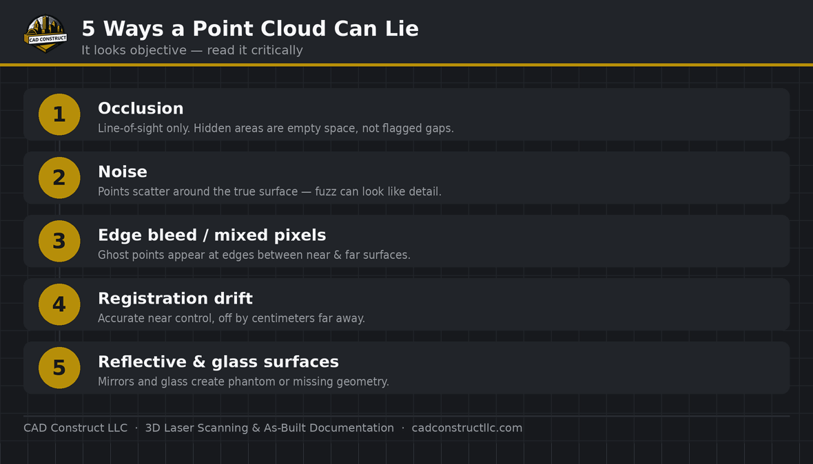
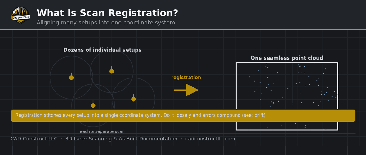
Because SLAM estimates its own position as it moves, small errors can accumulate over a long path — a phenomenon known as drift. Left unchecked, drift can cause the far end of a long capture to diverge slightly from reality. Experienced operators manage this by planning capture routes thoughtfully, closing loops so the system can recognize where it has been, and using control points to keep the map anchored. Understanding and controlling drift is central to producing reliable mobile-mapping data, especially across large sites where a long continuous path is unavoidable.
Loop closure and control points
Two techniques keep SLAM data honest over large areas. Loop closure means routing the capture so the device returns to a previously mapped location, letting the system recognize the overlap and correct any accumulated drift. Control points — known positions established by survey — anchor the mobile data to reality and can tie it into a real-world coordinate system. Together these methods discipline a mobile capture, pulling it back toward measured truth and improving the overall accuracy of the finished point cloud well beyond what raw motion estimation alone would achieve.
Capturing occupied and active sites
Mobile mapping is well suited to sites that cannot pause their operations, because an operator can move through quickly and unobtrusively. A working warehouse, an active facility, or a busy public space can be captured while it continues to function, with the operator simply walking the route. The speed of the capture minimizes the time spent in any one area, reducing interference with the people and activities using the space. This makes SLAM a practical choice where a slower, station-by-station capture would be too disruptive to be feasible.
Processing mobile-mapping data
After capture, SLAM data is processed to refine the trajectory, apply any control, and produce a clean, usable point cloud. This processing step is where drift is corrected, loops are resolved, and the data is prepared in the formats the project requires. The quality of the final deliverable depends not only on the capture itself but on this careful post-processing, which turns the raw continuous scan into an accurate, coherent map. A skilled team treats processing as an integral part of the workflow rather than an afterthought.
Choosing SLAM for the right reasons
The decision to use mobile mapping should follow from the project’s priorities. When speed, coverage, and access to awkward spaces outweigh the need for the very highest accuracy, SLAM is an excellent fit. When tolerances are tight and precision is paramount, stationary scanning or a hybrid approach is the wiser path. Framing the choice around what the project actually needs — rather than around which technology is newest or fastest — ensures the capture method genuinely serves the work, delivering data that is fit for its intended purpose.
The growing role of mobile mapping
Mobile mapping continues to expand the range of what scanning can capture quickly and affordably, opening up large and complex sites that would once have been impractical to document in full. As the technology matures, its accuracy improves and its applications widen, making it an increasingly important part of the scanning toolkit. For clients, the practical takeaway is that there is now a fast, flexible way to capture sprawling environments — and, used alongside stationary scanning, it means no site is too large or too awkward to document completely.
Related reading
3D Laser Scanning vs. Photogrammetry vs. Drones: Which Is Right for Your Project?
Point Cloud File Formats Explained: RCP, E57, LAS, PTS and More
What Is a Point Cloud? A Beginner’s Guide
·
FAQ
Is SLAM as accurate as tripod scanning? No — it trades accuracy for speed and coverage.
When to use it? For fast coverage of large or simple spaces.
Get field-verified existing conditions in Pittsburgh
CAD Construct LLC delivers survey-grade 3D laser scanning, as-built drawings, scan-to-BIM, and 360° virtual tours across Pittsburgh & Western PA. Request a free quote or call (800) 967-2627.


0 Comments