
Last updated:
Spanning tripod, handheld and mobile scanners by accuracy, speed and access
Key takeaways:
- Terrestrial delivers the highest accuracy for detail work.
- Handheld is fast and flexible in tight or complex spaces.
- Mobile covers large sites fastest at lower point density.
Terrestrial, handheld, and mobile laser scanning each trade accuracy for speed — here is when to use each.
Not all laser scanning is done the same way. The scanner can sit still on a tripod, be carried through a space by hand, or be mounted on a moving vehicle or backpack — and each approach trades accuracy for speed differently. Choosing the right method for a project is one of the biggest factors in whether you get the detail you need without paying for capture you do not.
This guide breaks down the three main approaches — terrestrial, handheld, and mobile — how they compare on accuracy and speed, and how to pick the right one for the job.
Laser Scanning: The three approaches
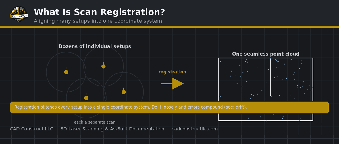
Terrestrial laser scanning (TLS) uses a scanner mounted on a tripod that stays stationary while it captures. The instrument spins and sweeps to record millions of points from a fixed position, then is moved to the next setup and the scans are registered together. TLS delivers the highest accuracy — often within a few millimeters — and the densest, cleanest data. The trade-off is speed: each setup takes several minutes, and complex buildings need many of them.
Handheld scanning uses a portable device that you carry through a space while it captures continuously. These rely on SLAM (Simultaneous Localization and Mapping), which tracks the scanner’s movement and builds the cloud on the fly. Handheld capture is dramatically faster and reaches tight, cluttered, or awkward spaces a tripod cannot, but accuracy is typically in the range of a centimeter or so — plenty for many purposes, less so for high-precision work.
Mobile scanning mounts the scanner on a moving platform — a vehicle, cart, or backpack — often aided by GNSS and inertial sensors. It covers large areas and linear sites like roads, tunnels, and campuses extremely quickly. Accuracy sits between handheld and terrestrial depending on the system and the quality of positioning, and it shines wherever the sheer size of the site would make static scanning impractical.
- Terrestrial (tripod) — highest accuracy; the standard for as-builts and BIM.
- Handheld / SLAM — fast walk-through capture; lower accuracy, great for quick coverage.
- Mobile / vehicle — rapid capture of large sites and corridors.
How to choose
The right method comes down to a few practical questions:
- How accurate does it need to be? High-precision work — fabrication, tight renovations, structural analysis — favors terrestrial. General as-builts and documentation tolerate handheld or mobile.
- How big is the site? A single room or building suits terrestrial or handheld; a campus, roadway, or sprawling facility calls for mobile.
- How much time is available? Handheld and mobile capture far faster, which matters in occupied or operational spaces where access windows are short.
- What is the access like? Cluttered, tight, or multi-level spaces often favor handheld; open drivable areas favor mobile.
- What is the budget? Faster capture can lower field cost, but only if the resulting accuracy still meets the project’s needs.
Often the best answer is a combination — using each method where it is strongest, then registering the results into one dataset.
Detailed documentation: terrestrial. Speed over large or simple areas: handheld or mobile. See accuracy expectations.
Accuracy vs. speed at a glance
The three methods form a clear spectrum. Terrestrial offers the best accuracy and detail but is the slowest per unit of area. Mobile is the fastest over large areas, with accuracy that depends heavily on positioning quality. Handheld sits in the middle on both counts, prized for its agility in complex interiors. Understanding where a project falls on the accuracy-versus-speed trade-off is the quickest way to narrow the choice — there is no single “best” scanner, only the best fit for the deliverable.

Typical use cases by method
Terrestrial is the workhorse for building interiors and exteriors, MEP-dense mechanical rooms, structural documentation, heritage detail, and anywhere a precise as-built model is the goal. Handheld excels at fast walkthroughs of complex spaces, forensic and insurance documentation, cluttered industrial areas, and situations where a tripod simply cannot reach. Mobile owns roads and highways, tunnels, rail corridors, large campuses, parking structures, and any site where covering ground quickly is the priority.
Combining methods for the best result
Experienced providers rarely treat these as mutually exclusive. A large campus might be captured with mobile scanning for the grounds and roadways, terrestrial scanning for key building interiors that demand precision, and handheld capture for the tight utility spaces in between. Because all three produce point clouds, the results can be registered into a single, coherent dataset — as long as the coordinate strategy is planned up front. This hybrid approach delivers precision where it matters and speed where it does not.

What affects real-world accuracy
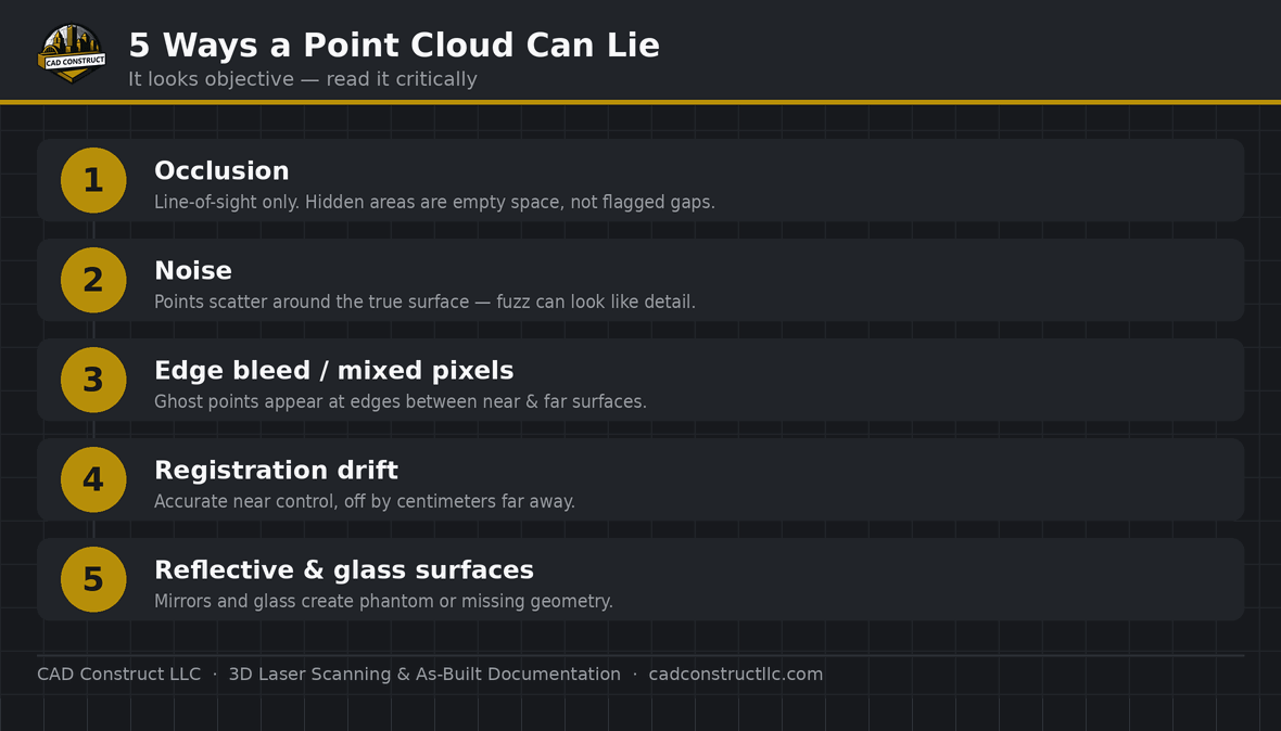
Headline accuracy figures assume good conditions. In the field, results are influenced by how well scans are registered, the quality of GNSS positioning for mobile systems, surface materials (glass, mirrors, and shiny metal scatter the laser), and how much the scene moved during capture. This is why the registration report and a provider’s field methodology matter as much as the scanner’s spec sheet. A well-run handheld survey can outperform a carelessly registered terrestrial one.
Common mistakes to avoid
- Over-specifying accuracy. Paying for millimeter terrestrial data on a project that needs centimeter documentation wastes time and money.
- Under-specifying it. Using fast handheld capture where fabrication tolerances are required leads to costly errors.
- Ignoring coordinates when combining methods. Datasets only merge cleanly if they share a framework.
- Judging by the scanner alone. Field method and registration quality drive the result as much as the hardware.
How occupied and operational sites shape the choice
In buildings that stay in use during capture — hospitals, airports, factories, retail — the available access window often decides the method as much as accuracy does. Handheld and mobile scanning move quickly and disrupt operations less, letting a crew document a space during a short shutdown or around foot traffic. Terrestrial scanning, while more precise, needs more setups and time, so on a busy operational site it is often reserved for the specific areas where high accuracy is essential. Matching the method to the site’s realities is part of good scan planning.

Questions to ask your scanning provider
Before a project, a good provider will discuss which method fits and why. Useful questions include: what accuracy does my deliverable actually require; which method are you proposing, and what accuracy will it achieve here; how will you handle tight or hard-to-reach areas; and if you are combining methods, how will the datasets be tied together? Clear answers signal a provider choosing tools around your deliverable rather than defaulting to whatever hardware is on the shelf.
The bottom line on choosing a method
Terrestrial, handheld, and mobile scanning are tools, not rankings. Terrestrial gives you precision, handheld gives you agility in complex interiors, and mobile gives you speed across large or linear sites. The best projects start from the deliverable — the accuracy, coverage, and timeline the finished data must support — and work backward to the method or blend of methods that meets it most efficiently. Get that match right and you pay only for the capture your project genuinely needs, with data you can trust downstream.
Related reading
Point Cloud File Formats Explained: RCP, E57, LAS, PTS and More
What Is a Point Cloud? A Beginner’s Guide
· Laser Scanning vs. Photogrammetry vs. Drones
FAQ
Which is most accurate? Terrestrial (tripod-based) scanning.
Which is fastest? Mobile and handheld, at the cost of some accuracy.
Which method is the most accurate?
Terrestrial (tripod-based) scanning, typically within a few millimeters. Handheld and mobile trade some accuracy for speed and coverage.
What is SLAM?
Simultaneous Localization and Mapping — the technology that lets handheld and mobile scanners track their own movement and build a point cloud while moving, without a fixed setup.
Can different scanning methods be combined on one project?
Yes. Because all produce point clouds, results from terrestrial, handheld, and mobile capture can be registered into one dataset, provided the coordinate strategy is planned in advance.
Is faster scanning always cheaper?
Not necessarily. Faster capture can reduce field time, but only if the accuracy still meets the deliverable. The cheapest method that meets the requirement is the right one.
Which method is best for a building renovation?
Usually terrestrial, sometimes supplemented with handheld for tight spaces, because renovations need reliable, dimensionally accurate as-builts.
Do I need to know which method to request?
No — describe your deliverable, site, and accuracy needs, and a good provider will recommend the right method or combination. The outcome matters more than the hardware.
Is mobile scanning accurate enough for BIM?
Often yes for general as-builts and large sites, especially with good GNSS and inertial positioning. For tight tolerances or fabrication, terrestrial scanning is the safer choice.
How long does each method take?
It varies with site size, but as a rule terrestrial is measured in setups per area and is the slowest, handheld captures a space in a continuous walkthrough, and mobile covers the most ground per hour. A provider can estimate field time once they know the scope.
Get field-verified existing conditions in Pittsburgh
CAD Construct LLC delivers 3D laser scanning, as-built drawings, scan-to-BIM, and 360° virtual tours across Pittsburgh & Western PA. Request a free quote or call (800) 967-2627.


0 Comments