
Last updated:
Linking real-world color to every measured point
Key takeaways:
- Color is mapped from photographs onto the scan points.
- Makes materials and spatial context instantly recognizable.
- Improves communication and QA versus grayscale clouds.
What colorized (RGB) point clouds are, how they’re captured, and why color helps you interpret scan data.
Adding color to points
A point cloud can carry real-world color (RGB) from the scanner’s camera, making it far easier to read walls, finishes, and equipment.
When color matters
Color aids documentation, virtual walkthroughs, and modeling; pure geometry may suffice for structural work.
From colorless dots to lifelike reality
A raw laser scan measures geometry with remarkable precision, but on its own the data can look abstract — a field of points defined only by position. Colorized point clouds change that entirely. By assigning each measured point a true color drawn from photographic imagery, a colorized cloud transforms into a lifelike, recognizable replica of the real environment. Surfaces show their actual hues and textures, and the space becomes instantly legible to anyone viewing it. This fusion of precise measurement and realistic color is what makes modern scan deliverables so intuitive and useful.
Understanding how colorization works, and why it matters, helps clients appreciate the difference between raw geometric data and a rich, photorealistic record of their space.
How point clouds get their color
Color comes from imagery captured alongside the scan. As a scanner measures the geometry of a space, an integrated or coordinated camera records photographs of the same environment from the same vantage point. Because the imagery and the measurements share an origin, each point in the cloud can be matched to the corresponding pixel in the photographs and take on its color. The result is that every measured point carries not just a position but a realistic color value, so the assembled cloud looks like the real scene rather than a monochrome abstraction.
Why colorization matters for understanding
Color dramatically improves how easily people can interpret scan data. A colorless cloud requires effort to read, but a colorized one is understood at a glance, because it looks like the actual space. Viewers can immediately recognize materials, identify equipment, read signage, and orient themselves within the environment. This intuitive legibility matters enormously when scan data is shared with people who are not scanning specialists — designers, owners, stakeholders — who can engage with a realistic colorized cloud far more readily than with raw geometry alone.

Capturing material and condition
Colorized clouds record more than shape; they preserve the appearance and condition of a space. The color and texture of surfaces — the finish of a wall, the wear on a floor, the staining on a ceiling, the labeling on equipment — are all captured in the imagery projected onto the cloud. This means a colorized scan documents not just where things are but what they look like and what condition they are in. For assessments, documentation, and any situation where appearance carries information, that visual record is invaluable in ways that geometry alone can never be.
Supporting design and visualization
For design teams, colorized point clouds make working with existing conditions far more natural. Instead of interpreting abstract data, designers navigate a realistic model of the space, measuring and understanding it with confidence. Questions about materials, finishes, and the visual character of a space can be answered directly from the colorized data, reducing the need to return to the site. This realism shortens the distance between the field and the design desk, letting teams work as though they were standing in the space while remaining at their desks.
Enhancing communication and buy-in
Colorized clouds are powerful communication tools precisely because they are so easy to understand. When a realistic capture of a space is shared with stakeholders, clients, or review boards, everyone can grasp the existing conditions immediately, without needing to interpret technical data. This shared, intuitive understanding smooths discussions, aligns expectations, and helps secure buy-in for decisions. A colorized cloud lets non-technical people participate meaningfully in conversations about a space, which is often exactly what keeps a project moving forward smoothly.
Colorization and lighting quality
The quality of a colorized cloud depends heavily on the quality of the imagery behind it. Good lighting and careful photographic technique produce clean, natural color, while poor imagery yields a cloud that looks washed out or uneven. Techniques such as high dynamic range imaging help capture accurate color across the full range of bright and dark areas in a space, ensuring the colorized cloud reads well everywhere. Skilled capture of the imagery is therefore essential to producing a colorized cloud that is genuinely realistic and useful rather than merely tinted.

When color adds value and when geometry suffices
Colorization adds real value for visualization, communication, documentation, and any task where appearance matters, but not every project requires it. For purely dimensional work — verifying measurements, feeding certain modeling tasks — the geometry alone may be all that is needed. Understanding whether a project will benefit from color helps scope the work appropriately, delivering colorized data where its realism pays off and focusing on geometry where that is the true requirement. Matching the deliverable to the need ensures the capture serves its purpose efficiently.
How CAD Construct delivers colorized data
CAD Construct captures geometry alongside quality imagery to deliver colorized point clouds that are both precise and photorealistic. For clients across the Pittsburgh region, that means existing-conditions data you can measure against and instantly understand — realistic, legible captures that support design, communication, and documentation while carrying the full accuracy of the underlying scan beneath every colored point.
Colorized clouds for facility documentation
For building owners and facility managers, colorized point clouds serve as a rich reference long after a project ends. Because they capture both the layout and the appearance of a space, they let facility teams locate equipment, understand configurations, and recall conditions without visiting the site. When a question arises about a space — how a room was arranged, what a piece of equipment looked like, how systems were routed — the colorized cloud answers it visually. This makes the data an enduring operational tool, not just a design input, delivering value across the entire life of the building.
Registering imagery accurately
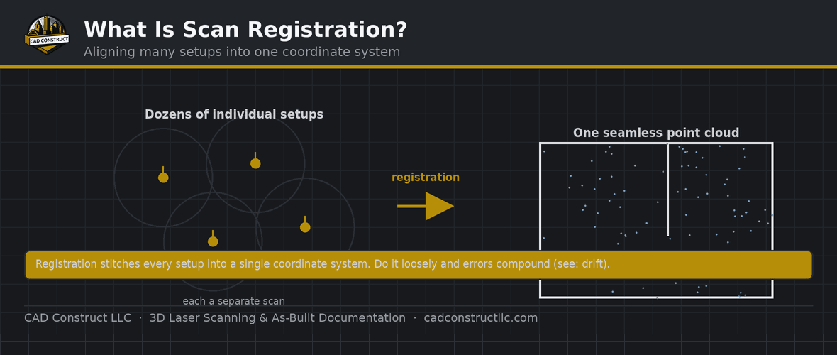
Producing a clean colorized cloud depends on aligning the imagery to the geometry precisely. If the photographs are not matched accurately to the measured points, color can smear or misplace, undermining the realism. Careful registration ensures each point receives the correct color from the right part of the imagery, so the finished cloud looks crisp and true. This alignment is a skilled part of processing, and getting it right is what separates a convincingly realistic colorized cloud from one where the color and geometry seem subtly out of step with each other.
Handling challenging surfaces
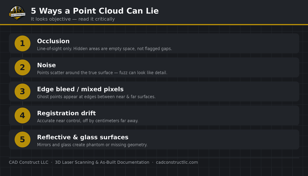
Some surfaces are difficult to colorize well — reflective materials, glass, and glossy finishes can confuse the imagery and produce color artifacts. Skilled capture manages these challenges by controlling lighting and exposure and by positioning captures to minimize glare and reflection. Handling these surfaces thoughtfully keeps the colorized cloud accurate even in spaces full of shiny or transparent materials, where a careless approach would produce distracting errors. The result is a cloud that remains realistic and trustworthy throughout, even in the visually complex environments that are hardest to capture cleanly.

File size and performance considerations
Adding color to a point cloud enriches it but also contributes to its size, and colorized clouds are large datasets that require capable handling. Thoughtful processing balances the richness of the colorized data against the practical need to view and share it efficiently. Delivering the data at an appropriate density and in suitable formats keeps a colorized cloud both realistic and workable, so its visual value is not offset by data that is too cumbersome to use. Managing this balance is part of delivering colorized data that clients can actually put to work.
Combining color with measurement
The real power of a colorized cloud is that it never sacrifices measurement for appearance. Beneath every colored point lies a precise position, so the cloud remains fully measurable even as it looks photorealistic. Users can take accurate dimensions directly from the same data that shows them a lifelike view of the space. This combination — realistic appearance and exact measurement in one dataset — is what makes colorized clouds so versatile, serving both the intuitive understanding that color provides and the dimensional accuracy that scanning is prized for.
Colorized clouds in virtual walkthroughs
Colorized data underpins immersive ways of experiencing a space. A realistic colorized cloud can be navigated as though walking through the environment, letting viewers explore a captured space remotely with a genuine sense of presence. This is especially valuable for stakeholders who cannot visit the site, for coordinating teams spread across locations, and for reviewing conditions without the cost and disruption of repeated visits. The realism of the color is what makes these virtual experiences convincing, turning measured data into something people can explore naturally and intuitively.
Realism that builds trust
Perhaps the subtlest benefit of colorization is the trust it builds. When people see a scan that looks exactly like the real space, they believe in the data in a way that abstract geometry rarely inspires. That confidence encourages teams and stakeholders to rely on the scan for decisions, knowing it faithfully represents reality. By making measured data look like the world it captures, colorization bridges the gap between technical precision and human understanding, ensuring that the accuracy of the scan is matched by the confidence of everyone who uses it.
Related reading
3D Laser Scanning vs. Photogrammetry vs. Drones: Which Is Right for Your Project?
Point Cloud File Formats Explained: RCP, E57, LAS, PTS and More
·
FAQ
Do all scans include color? Most modern scanners capture RGB; we can deliver with or without.
Does color affect accuracy? No — geometry accuracy is unchanged.
Get field-verified existing conditions in Pittsburgh
CAD Construct LLC delivers 3D laser scanning, as-built drawings, scan-to-BIM, and 360° virtual tours across Pittsburgh & Western PA. Request a free quote or call (800) 967-2627.
Related resources
- How to Read Construction Blueprints — full guide
- Blueprints vs. 3D Models & BIM
- How to Read Structural Drawings
Turning these drawings into a field-verified digital record? See our 3D laser scanning in Pittsburgh and scan-to-BIM services across Pittsburgh & Western PA, or request a quote.


0 Comments